
HOWL Beta is available!
I am delighted to announce the beta availability of HOWL
For the past few months, I have been working in collaboration with the folks at Oregon Wild to develop HOWL (Highlighting Oregon’s WildLands). Many thanks to Erik Fernandez of Oregon Wild for supporting this project, providing a ton of data, feedback and direction!
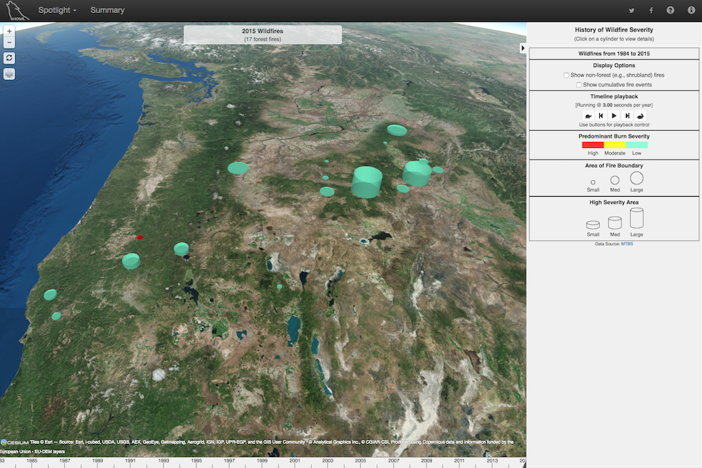
HOWL is an interactive 3D/4D mapping and visualization tool for presenting information relevant to the protection of wilderness and wildlife in Oregon. The application combines information from multiple data sources and presents it over 3D maps, and, if applicable, provides the ability to animate the data presentation over time.
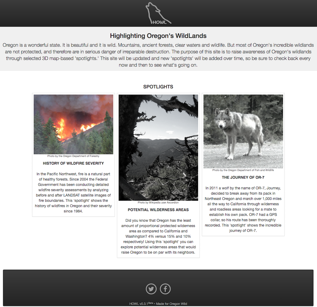
HOWL shows information through the use of ‘spotlights’ introduced in the form of ‘cards’ in the home page. Think of a ‘spotlight’ as a mini-application that is focused on a specific topic or area of interest.
Currently HOWL has three ‘spotlights’ available:
- History of Wildfire Severity
- Potential Wilderness Areas
- The Journey of Wolf OR-7
You can view a brief description of each one of these ‘spotlights’ in the HOWL landing page.
HOWL Home Page
‘Spotlights’ are modules that can be added to HOWL. In the future expect to see more ‘spotlights’ to focus on other areas related to wilderness protection. Some ideas we are considering include active wildfires, forest-based carbon storage and additional wildlife tracking.
HOWL Spotlight
In future posts I will be delving into the details of HOWL. First, I will focus on how to use it and later on how it was built.